Archivero is in early access — your sources, PDFs and citations in one library.Request early access →
Archivero/guides/
APAMLAHarvardThesis writing
Subscribe
Archivero/guides/Request early access →

Guides

APA styleMLA styleHarvard referencingThesis writing

Compare

APA 6th vs 7thMLA 8th vs 9thHarvard vs APAThesis vs dissertation

Product

FeaturesEarly access

Resources

DocsCheat sheetsNewsletter

Company

ContactStatus ↗
© 2025–2026 Ernesto F. GonzálezGuidesDocsContactPrivacyTerms
Guides/Citations/APA Citation Style

How to Cite a Map in APA Format

APA 7th edition rules for citing maps from atlases, websites, Google Maps, government agencies, and GIS platforms — with reference list entries, in-text citations, and figure note examples.

4 min readAPA

Key Takeaways

  • Maps are classified as figures in APA and use the format descriptor [Map] in brackets.
  • The basic reference format is: Cartographer/Organization. (Year). Title of map [Map]. Publisher. URL
  • For online maps (Google Maps, Google Earth), include the retrieval date since the content changes:
    • Google Maps. (n.d.). [Map of downtown Chicago, Illinois]. Retrieved January 15, 2025, from https://maps.google.com
  • For government or institutional maps, the organization is typically the author:
    • U.S. Geological Survey. (2022). Topographic map of Yellowstone National Park [Map]. https://www.usgs.gov/example
  • For maps from atlases, cite as a chapter in an edited book.
  • When you embed a map in your paper, format it as an APA figure with a copyright note.
  • For dynamic/interactive maps, include a retrieval date and describe the specific view in square brackets.

On this page

1 of 18
Key TakeawaysReference Format by Source TypeMap From a Government Agency or OrganizationMap From a WebsiteGoogle MapsGoogle EarthMap From an AtlasMap From a Database or GIS PlatformHistorical Map From an ArchiveMap With No AuthorIn-Text CitationsEmbedding a Map as a FigureCopyright NotesGovernment Maps (Usually Public Domain)Copyrighted MapsAdapted (Annotated, Cropped, Overlaid)Common Map Citation MistakesWhat's Next
All APA guides →

Maps in APA are classified as figures and use the format descriptor [Map] in the reference entry. The citation format depends on the map's source — a thematic map from a government agency, a satellite image from Google Earth, a historical map from an archive, and a custom map from a GIS platform each follow different templates. The underlying rule is consistent: identify the cartographer or organization, describe the map, and provide access information.

Reference Format by Source Type

Map From a Government Agency or Organization

Organization. (Year). Title of map [Map]. URL

Example:

U.S. Geological Survey. (2022). Topographic map of Yellowstone National Park [Map]. https://www.usgs.gov/maps/example

Map From a Website

Author(s) or Organization. (Year, Month Day). Title of map [Map]. Site Name. URL

Example:

National Weather Service. (2024, July 10). Heat advisory zones for the southwestern United States [Map]. https://www.weather.gov/example

Google Maps

Google Maps content is dynamic, so include a retrieval date and describe the view in brackets:

Google Maps. (n.d.). [Map of downtown Chicago, Illinois]. Retrieved January 15, 2025, from https://www.google.com/maps/place/Chicago

  • Use "n.d." because the map has no fixed publication date.
  • Place the description in square brackets (not italicized) when there's no formal title.
  • Include "Retrieved [date]" because the map content may change.

Google Earth

Google Earth. (n.d.). [Satellite view of the Nile Delta, Egypt]. Retrieved March 1, 2025, from https://earth.google.com/example

Map From an Atlas

Cite as a chapter in a book:

Cartographer Last Name, First Initial. (Year). Title of map [Map]. In A. Editor (Ed.), Title of atlas (p. Page or Plate number). Publisher.

Example:

Rand McNally. (2023). United States political map [Map]. In Rand McNally road atlas 2023 (pp. 4–5). Rand McNally.

Map From a Database or GIS Platform

Author(s) or Organization. (Year). Title of map [Map]. Platform Name. URL

Example:

Esri. (2024). Global earthquake risk zones [Map]. ArcGIS Online. https://www.arcgis.com/home/item.html?id=example

Historical Map From an Archive

Cartographer Last Name, First Initial. (Year). Title of map [Map]. Archive Name, Location. URL (if available)

Example:

Mercator, G. (1569). Nova et aucta orbis terrae descriptio [Map]. Bibliothèque nationale de France, Paris. https://gallica.bnf.fr/example

Map With No Author

Title of map [Map]. (Year). Source. URL

Example:

Soil types of the Mississippi River Basin [Map]. (2020). U.S. Department of Agriculture. https://www.usda.gov/example

In-Text Citations

ScenarioParentheticalNarrative
Organization authorParenthetical(U.S. Geological Survey, 2022)NarrativeU.S. Geological Survey (2022)
Google MapsParenthetical(Google Maps, n.d.)NarrativeGoogle Maps (n.d.)
Individual cartographerParenthetical(Mercator, 1569)NarrativeMercator (1569)
No authorParenthetical("Soil Types," 2020)Narrative"Soil Types" (2020)

Embedding a Map as a Figure

When you include a map in your paper, format it as an APA figure:

Figure 3

Heat Advisory Zones for the Southwestern United States, July 2024

Note. From Heat advisory zones for the southwestern United States, by National Weather Service, 2024 (https://www.weather.gov/example). In the public domain.

For Google Maps:

Figure 4

Location of Study Sites in Downtown Chicago

Note. From Google Maps, n.d. (https://www.google.com/maps). Retrieved January 15, 2025. Copyright 2025 by Google. Reprinted with permission.

Copyright Notes

Government Maps (Usually Public Domain)

Note. From Title of map, by Organization, Year (URL). In the public domain.

Copyrighted Maps

Note. From Title of map, by A. Author/Organization, Year (URL). Copyright Year by Copyright Holder. Reprinted with permission.

Adapted (Annotated, Cropped, Overlaid)

Note. Adapted from Title of map, by A. Author/Organization, Year (URL). Copyright Year by Copyright Holder.

Common Map Citation Mistakes

  1. Forgetting the retrieval date for dynamic maps. Google Maps, GIS platforms, and other interactive maps change over time — include "Retrieved [date]."
  2. Using a screenshot URL instead of a shareable link. When possible, use the map's sharing URL or permalink.
  3. Omitting [Map] from the reference. The format descriptor is required.
  4. Citing Google Maps for a government map. If a government agency created the map and you accessed it through Google Maps, cite the original agency when possible.
  5. Not describing the map view. For dynamic maps with no fixed title, use a bracketed description: [Map of downtown Chicago, Illinois].

What's Next

  • How to Cite an Image in APA — broader rules for citing visual sources
  • APA Figures — complete figure formatting rules
  • How to Cite a Chart in APA — citing data visualizations
  • APA Tables — formatting rules for data presented in rows and columns

Archivero helps you focus on your research while keeping the formatting consistent — so you can cite geographic and spatial sources correctly without navigating conflicting reference templates.
All APA guides →
← PreviousHow to Cite an Image in APA FormatNext →How to Cite a Painting in APA Format

More on APA style

The standard in psychology, education and the social sciences. The author–date system, reference-list formatting and what the 7th edition changed.

View all 34 guides →
7 sections·5 min readAPAHow to Cite a Painting in APA Format8 sections·5 min readAPAHow to Cite a Photograph in APA Format10 sections·5 min readAPAHow to Format Tables in APA8 sections·7 min readAPAAPA General Format

Your sources, PDFs and citations in one library

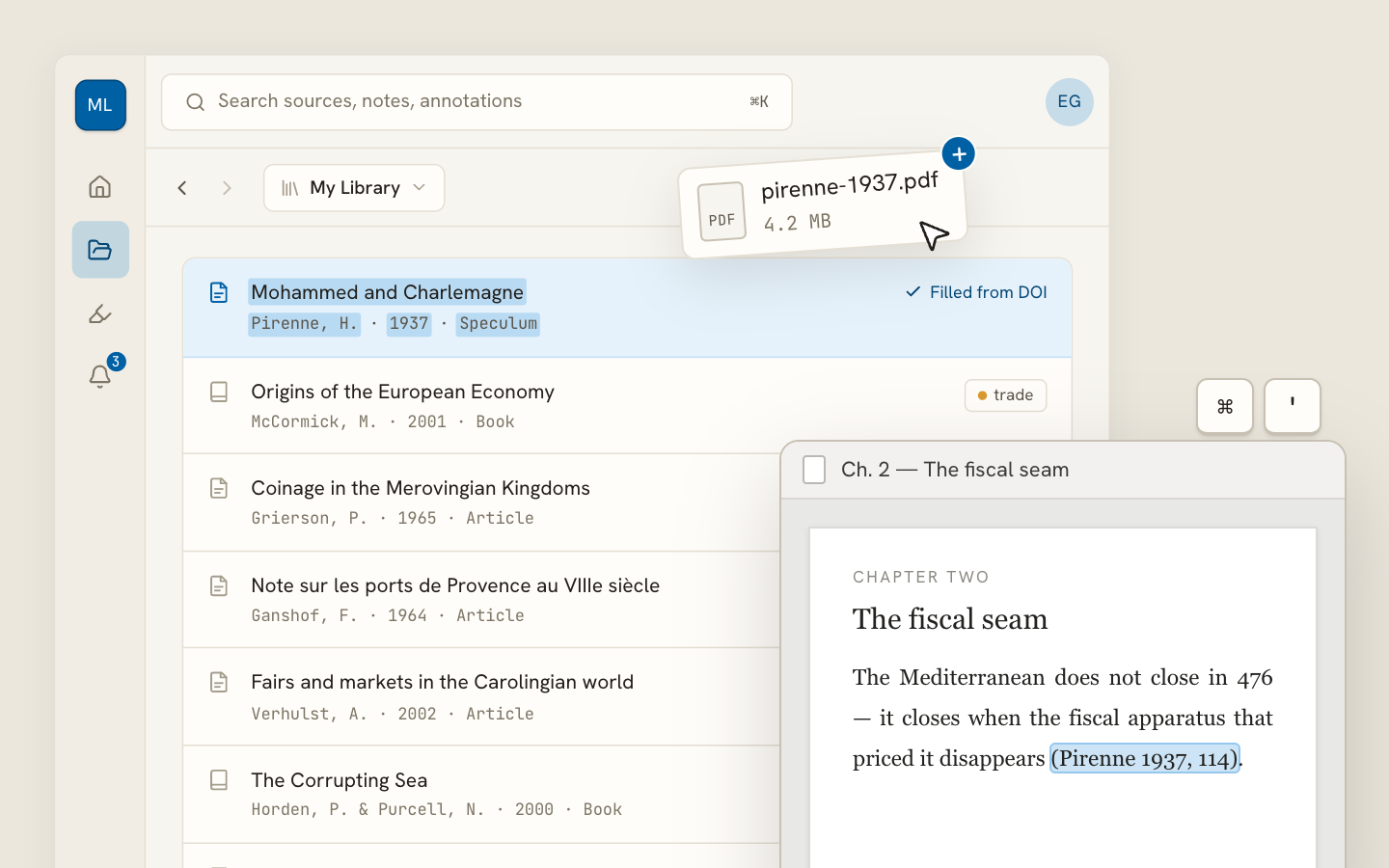
  • Import a Zotero, Mendeley or EndNote library — or a folder of PDFs
  • Highlight and annotate without leaving the source
  • Cite in any CSL style as you write, with one shared library for your lab
Request early accessSee the product →
Archivero library view with a source list and an open PDF

Your weekly research workflow, in one email

One tested workflow, three links, no filler — every Tuesday.

Unsubscribe in one click. We never share your address.

Guides/Citations/APA Citation Style

How to Cite a Map in APA Format

APA 7th edition rules for citing maps from atlases, websites, Google Maps, government agencies, and GIS platforms — with reference list entries, in-text citations, and figure note examples.

4 min readAPA

Key Takeaways

  • Maps are classified as figures in APA and use the format descriptor [Map] in brackets.
  • The basic reference format is: Cartographer/Organization. (Year). Title of map [Map]. Publisher. URL
  • For online maps (Google Maps, Google Earth), include the retrieval date since the content changes:
    • Google Maps. (n.d.). [Map of downtown Chicago, Illinois]. Retrieved January 15, 2025, from https://maps.google.com
  • For government or institutional maps, the organization is typically the author:
    • U.S. Geological Survey. (2022). Topographic map of Yellowstone National Park [Map]. https://www.usgs.gov/example
  • For maps from atlases, cite as a chapter in an edited book.
  • When you embed a map in your paper, format it as an APA figure with a copyright note.
  • For dynamic/interactive maps, include a retrieval date and describe the specific view in square brackets.

On this page

1 of 18
Key TakeawaysReference Format by Source TypeMap From a Government Agency or OrganizationMap From a WebsiteGoogle MapsGoogle EarthMap From an AtlasMap From a Database or GIS PlatformHistorical Map From an ArchiveMap With No AuthorIn-Text CitationsEmbedding a Map as a FigureCopyright NotesGovernment Maps (Usually Public Domain)Copyrighted MapsAdapted (Annotated, Cropped, Overlaid)Common Map Citation MistakesWhat's Next
All APA guides →

Maps in APA are classified as figures and use the format descriptor [Map] in the reference entry. The citation format depends on the map's source — a thematic map from a government agency, a satellite image from Google Earth, a historical map from an archive, and a custom map from a GIS platform each follow different templates. The underlying rule is consistent: identify the cartographer or organization, describe the map, and provide access information.

Reference Format by Source Type

Map From a Government Agency or Organization

Organization. (Year). Title of map [Map]. URL

Example:

U.S. Geological Survey. (2022). Topographic map of Yellowstone National Park [Map]. https://www.usgs.gov/maps/example

Map From a Website

Author(s) or Organization. (Year, Month Day). Title of map [Map]. Site Name. URL

Example:

National Weather Service. (2024, July 10). Heat advisory zones for the southwestern United States [Map]. https://www.weather.gov/example

Google Maps

Google Maps content is dynamic, so include a retrieval date and describe the view in brackets:

Google Maps. (n.d.). [Map of downtown Chicago, Illinois]. Retrieved January 15, 2025, from https://www.google.com/maps/place/Chicago

  • Use "n.d." because the map has no fixed publication date.
  • Place the description in square brackets (not italicized) when there's no formal title.
  • Include "Retrieved [date]" because the map content may change.

Google Earth

Google Earth. (n.d.). [Satellite view of the Nile Delta, Egypt]. Retrieved March 1, 2025, from https://earth.google.com/example

Map From an Atlas

Cite as a chapter in a book:

Cartographer Last Name, First Initial. (Year). Title of map [Map]. In A. Editor (Ed.), Title of atlas (p. Page or Plate number). Publisher.

Example:

Rand McNally. (2023). United States political map [Map]. In Rand McNally road atlas 2023 (pp. 4–5). Rand McNally.

Map From a Database or GIS Platform

Author(s) or Organization. (Year). Title of map [Map]. Platform Name. URL

Example:

Esri. (2024). Global earthquake risk zones [Map]. ArcGIS Online. https://www.arcgis.com/home/item.html?id=example

Historical Map From an Archive

Cartographer Last Name, First Initial. (Year). Title of map [Map]. Archive Name, Location. URL (if available)

Example:

Mercator, G. (1569). Nova et aucta orbis terrae descriptio [Map]. Bibliothèque nationale de France, Paris. https://gallica.bnf.fr/example

Map With No Author

Title of map [Map]. (Year). Source. URL

Example:

Soil types of the Mississippi River Basin [Map]. (2020). U.S. Department of Agriculture. https://www.usda.gov/example

In-Text Citations

ScenarioParentheticalNarrative
Organization authorParenthetical(U.S. Geological Survey, 2022)NarrativeU.S. Geological Survey (2022)
Google MapsParenthetical(Google Maps, n.d.)NarrativeGoogle Maps (n.d.)
Individual cartographerParenthetical(Mercator, 1569)NarrativeMercator (1569)
No authorParenthetical("Soil Types," 2020)Narrative"Soil Types" (2020)

Embedding a Map as a Figure

When you include a map in your paper, format it as an APA figure:

Figure 3

Heat Advisory Zones for the Southwestern United States, July 2024

Note. From Heat advisory zones for the southwestern United States, by National Weather Service, 2024 (https://www.weather.gov/example). In the public domain.

For Google Maps:

Figure 4

Location of Study Sites in Downtown Chicago

Note. From Google Maps, n.d. (https://www.google.com/maps). Retrieved January 15, 2025. Copyright 2025 by Google. Reprinted with permission.

Copyright Notes

Government Maps (Usually Public Domain)

Note. From Title of map, by Organization, Year (URL). In the public domain.

Copyrighted Maps

Note. From Title of map, by A. Author/Organization, Year (URL). Copyright Year by Copyright Holder. Reprinted with permission.

Adapted (Annotated, Cropped, Overlaid)

Note. Adapted from Title of map, by A. Author/Organization, Year (URL). Copyright Year by Copyright Holder.

Common Map Citation Mistakes

  1. Forgetting the retrieval date for dynamic maps. Google Maps, GIS platforms, and other interactive maps change over time — include "Retrieved [date]."
  2. Using a screenshot URL instead of a shareable link. When possible, use the map's sharing URL or permalink.
  3. Omitting [Map] from the reference. The format descriptor is required.
  4. Citing Google Maps for a government map. If a government agency created the map and you accessed it through Google Maps, cite the original agency when possible.
  5. Not describing the map view. For dynamic maps with no fixed title, use a bracketed description: [Map of downtown Chicago, Illinois].

What's Next

  • How to Cite an Image in APA — broader rules for citing visual sources
  • APA Figures — complete figure formatting rules
  • How to Cite a Chart in APA — citing data visualizations
  • APA Tables — formatting rules for data presented in rows and columns

Archivero helps you focus on your research while keeping the formatting consistent — so you can cite geographic and spatial sources correctly without navigating conflicting reference templates.

All APA guides →
← PreviousHow to Cite an Image in APA FormatNext →How to Cite a Painting in APA Format

More on APA style

The standard in psychology, education and the social sciences. The author–date system, reference-list formatting and what the 7th edition changed.

View all 34 guides →
7 sections·5 min readAPAHow to Cite a Painting in APA Format8 sections·5 min readAPAHow to Cite a Photograph in APA Format10 sections·5 min readAPAHow to Format Tables in APA8 sections·7 min readAPAAPA General Format

Your sources, PDFs and citations in one library

  • Import a Zotero, Mendeley or EndNote library — or a folder of PDFs
  • Highlight and annotate without leaving the source
  • Cite in any CSL style as you write, with one shared library for your lab
Request early accessSee the product →
Archivero library view with a source list and an open PDF

Your weekly research workflow, in one email

One tested workflow, three links, no filler — every Tuesday.

Unsubscribe in one click. We never share your address.